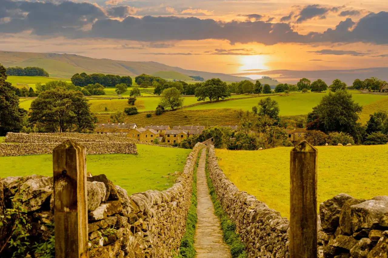
The Dales Way is one of the cleanest point-to-point walks in northern England: roughly 80 miles from Ilkley to Bowness-on-Windermere, with a steady rhythm of river paths, dale floors, and easier Lakeland foothills. I am focusing here on what the trail actually feels like, how to split it into sensible days, when to go, and which practical details matter most if you want the walk to be enjoyable rather than merely completed. For a route like this, the difference between a good trip and a frustrating one is usually planning, not fitness.
Key facts at a glance
- Plan for about 80 miles / 128 km from Ilkley to Bowness-on-Windermere.
- Most walkers allow 6 to 8 days, with six days being the classic through-walk pace.
- The ground is mostly riverside path, field edges, tracks, and gentle hills, not sustained mountain terrain.
- April to October is usually the most comfortable window, with late spring and early autumn especially strong.
- This is a good long-distance walk if you want scenery and variety without constant route-finding pressure.
- Accommodation and bag transfer are easy enough to build in, but I would still book ahead in busy months.
What the route feels like on foot
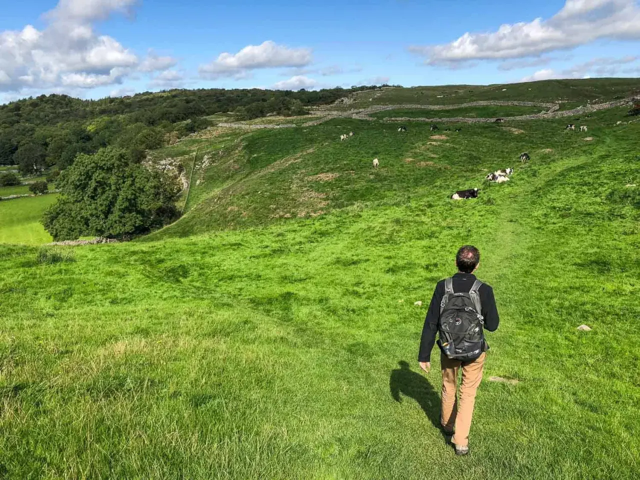
The official route website describes the line as mostly riverside paths, and that is a fair summary, but it does not quite capture how much the scenery evolves. You start in Wharfdale, move through open dales and quieter village country, then drift toward Dentdale and the Lakeland fringe where the landscape tightens and the views become more dramatic. I like that balance: the walking stays accessible, but it still feels like a proper journey.
What matters most is that this is a trail with a gentle personality, not a trivial one. Wet fields, stile hopping, and short road connectors can slow you down more than the mileage suggests, so I would not judge the day by distance alone. The route rewards a steady pace, a bit of patience after rain, and the willingness to stop pretending every mile will feel the same. Once you understand that character, the next question is how to divide the walk into days without making one stage too heavy.
How I would break the walk into stages
A recent Cicerone route summary puts the standard line at 79.5 miles, and in practice most walkers complete it in six days. That is a sensible rhythm if you like full walking days, but I think seven or eight days gives the whole trip a better shape because it leaves room for short village breaks, weather delays, and the occasional side look at a waterfall or viewpoint.
| Day | Typical section | Distance | What to expect |
|---|---|---|---|
| 1 | Ilkley to Burnsall | 13 miles | A strong opening day on friendly ground, good for settling into the pace. |
| 2 | Burnsall to Buckden | 14 miles | Long enough to matter, but often split near Grassington or Kettlewell if you want a softer plan. |
| 3 | Buckden to Cowgill | 17.5 miles | One of the harder days, so I would start early and keep stops efficient. |
| 4 | Cowgill to Millthrop | 9.25 miles | A shorter reset day that helps balance the week and recover your legs. |
| 5 | Millthrop to Staveley | 19.25 miles | The longest stage, rewarding if you like covering ground, punishing if you underfuel. |
| 6 | Staveley to Bowness-on-Windermere | 6.5 miles | A gentle finish that lets you arrive with enough energy left to enjoy the lake shore. |
If I were planning this for a first attempt, I would split the second day and think carefully about the fifth. Those two days are where an otherwise relaxed itinerary can feel rushed, especially if you want time for lunch stops, photos, or a late weather change. The point is not to make the walk easier than it should be; it is to make the week feel well paced rather than compressed. That pace depends a lot on when you go, which is the next decision I would make.
When to go and what the season changes
Many walkers prefer April to October, and I understand why. The days are longer, the weather is usually kinder, and the route feels less pressured when you are not racing daylight. My own sweet spot would be late May, June, or early September, when the landscape still looks rich but the hottest weeks and the school-holiday crowds are less of a factor.
- April to early June works well if you do not mind occasional showers and fresh, bright conditions.
- July and August bring the warmest weather, but also the busiest accommodation calendar and the least forgiving booking window.
- September and early October are often the best balance of light, calm, and stable walking conditions.
- Late autumn and winter are possible, but shorter days, muddier fields, and a higher chance of weather disruption make the route less forgiving.
The biggest seasonal mistake I see is assuming that a linear valley walk is always mild. After heavy rain, easy-looking sections can turn greasy or slow, and a day that looked short on paper can still feel long on your feet. Once the season is set, the next job is deciding what to carry and how much support you want from the start.
What to pack and plan before you start
I would keep the kit practical rather than clever. Good footwear matters, but so does everything around it, because this is the sort of walk where comfort problems build up over several days instead of appearing all at once.
- Footwear: trail shoes or boots with enough grip for wet grass, muddy edges, and occasional stony paths.
- Navigation: offline maps on your phone, plus a paper backup if you like a proper fail-safe.
- Clothing: a waterproof shell, a light insulating layer, and a hat and gloves for cold starts or exposed stretches.
- Logistics: pre-booked accommodation, a baggage transfer plan if you want to walk lighter, and at least one buffer idea for bad weather.
- Food and water: do not assume every village stop will suit your timing, so top up when you can rather than when you must.
I also check route updates before I leave, because long-distance paths do change in places and not every guidebook catches up immediately. That sounds dull, but it prevents the kind of avoidable irritation that can sour an otherwise excellent day. With the kit and bookings under control, the last real question is how demanding the ground feels in practice.
Where the route is easy and where it asks more of you
If you are used to hill walking, this route will probably feel forgiving underfoot, but that does not mean it is effortless. The hardest parts are often cumulative: a long mileage day, a few awkward climbs out of the valley floor, and the psychological drag of knowing you still have to wake up and move again tomorrow. Day 3 and day 5 are the places where that adds up most clearly.
The common mistake is to treat the whole walk as a mellow countryside stroll and then stack two ambitious days back to back. I would not do that unless I had already walked similar distances with a loaded pack. Compared with rougher upland routes, navigation is usually easier here, but the trade-off is that the walk can lull people into overconfidence. That is exactly why a few small decisions matter more than grand ambition.
The small decisions that make the trip feel smooth
- Start earlier on the longest days so lunch and weather delays do not become pressure points.
- Book the hardest nights first, especially if you want specific villages rather than simply any bed.
- Split the second or fifth day if you would rather finish with energy than survive on stubbornness.
- Carry a little flexibility; a linear walk becomes much more enjoyable when you can adapt to rain or fatigue.
- Treat the route as a journey, not a race, because the best memories usually come from the quieter in-between miles.
For me, that is the real appeal of this walk: it gives you a classic northern England landscape without demanding specialist mountain skills, and it rewards anyone who plans the days with a little care. If I were setting it up now, I would choose a shoulder-season window, book the key nights early, and leave enough breathing room to enjoy the quieter miles between the headline places.