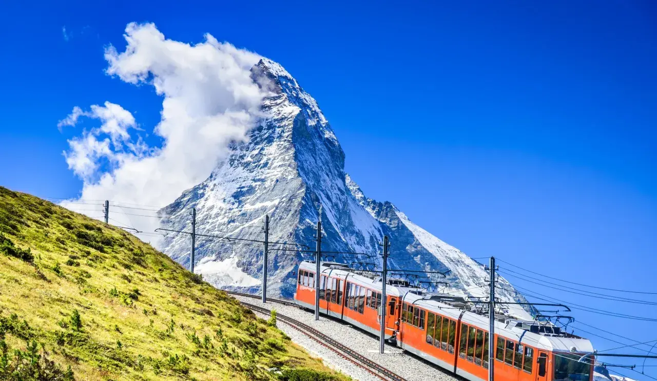
Planning hiking in Switzerland is less about finding a trail and more about choosing the right level of effort, elevation, and transport access for the kind of day you want. The country makes that unusually easy: routes are dense, clearly signed, and often tied directly to trains, postbuses, boats, and cable cars. This guide covers how the trail system works, when to go, what to pack, and the decisions that matter most once you are on the mountain.
Key facts that matter before you choose a trail
- Switzerland has about 65,000 km of waymarked hiking trails, so route choice matters more than simply finding a path.
- Yellow hiking trails are the most accessible, mountain hiking trails need more attention, and blue alpine trails are for experienced hikers.
- Most trailheads can be reached by public transport, which makes point-to-point hikes practical.
- July through September is the safest window for many high routes, while lower trails can work much earlier and later in the year.
- The biggest avoidable mistakes are late starts, underestimating descent, and ignoring weather warnings.
How the Swiss trail system works
Switzerland Tourism puts the marked hiking network at roughly 65,000 kilometres, and that scale is the reason people can build anything from a two-hour lakeside loop to a multi-day traverse without repeating the same kind of landscape. The key is that the markings are not decorative, they tell you what kind of trail you are on and how seriously to treat it.
| Trail type | How it is marked | Best for | What to expect |
|---|---|---|---|
| Hiking trail | Yellow signposts, often with green route information stickers for national, regional, or local routes | Most day hikers, families, relaxed walkers | Usually the most accessible option, but not always flat |
| Mountain hiking trail | Yellow signposts with white-red-white waymarks | Fit hikers who are comfortable with steeper terrain | Rockier ground, more ascent and descent, more attention needed |
| Alpine hiking trail | Blue waymarks | Experienced hikers with sure-footedness and route-finding comfort | Rough, exposed, and more dependent on conditions |
The maintenance side matters too. Signposts appear at roughly 50,000 points along the network, and the trails are checked each year by a large maintenance workforce, which is why navigation usually feels calm even in remote places. Roughly 63% of the network is standard hiking trail, 36% is mountain hiking trail, and just under 1% is alpine hiking trail, so the country is friendlier than the mountain reputation sometimes suggests.
Once you understand that grammar, picking a route becomes much easier, which is where the real planning starts.
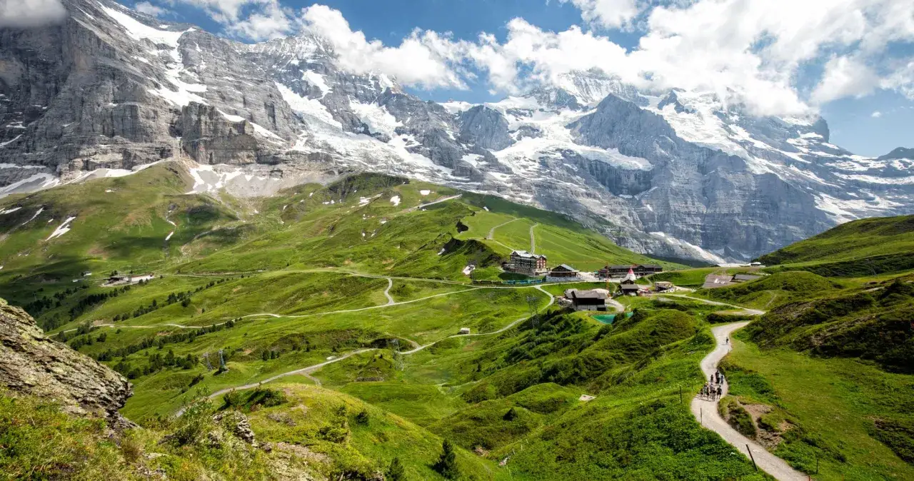
How to choose the right route for your energy and time
I start by asking three questions: do you want a half-day, a full day, or a multi-day route, do you want views with modest effort or are you willing to earn them, and are you comfortable with exposed ground? Those answers tell you more than a trail name ever will.
- First-timers and mixed-ability groups: choose a yellow trail in a valley, by a lake, or through vineyards. Those routes usually give you an easy escape route if weather or energy changes.
- Regular hikers: choose a mountain hiking trail with white-red-white waymarks. This is where Switzerland becomes properly alpine without requiring mountaineering skills.
- Experienced hikers: choose a blue alpine trail or a difficult long-distance stage only when you are sure-footed, comfortable with exposure, and ready for route-finding decisions.
For long-distance inspiration, the Jura Crest Trail is the gentler option, linking Zurich and Lake Geneva over 15 days. The Alpine Panorama Trail stretches about 510 kilometres across 29 stages, and the Alpine Passes Trail is the hard one, with 39 days and 30 passes. I mention them not because everyone should do them, but because they show how wide the range really is. If you want a classic middle ground, a stage of the Via Alpina usually gives you big mountain scenery without committing to a full expedition.
The important lesson is simple: Swiss hiking is not one experience, it is a ladder of experiences. That ladder only works if you catch the right season, which matters more than many visitors expect.
When to go and how weather changes the plan
Season matters more in Switzerland than many first-time visitors expect. A trail that is lush in the lowlands can still be under snow higher up, and some cable cars or hut links run on different schedules from the valleys below.
| Season | Best terrain | Why it works | Main caution |
|---|---|---|---|
| Late spring, roughly May to June | Lake, river, vineyard, and low valley trails | Green scenery, fewer crowds, comfortable temperatures | Snow may still linger above mid-elevation |
| Peak summer, roughly July to September | Most mountain hikes and hut-to-hut stages | Longest days and the widest access to alpine terrain | Afternoon thunderstorms and busy popular routes |
| Autumn, roughly October | Lower and mid-elevation routes | Crisp air, fewer people, strong visibility | Shorter daylight and early snow at altitude |
| Winter and early spring | Winter trails, snowshoe routes, carefully selected low trails | Clear conditions on the right route | Many summer hiking trails are not suitable |
My rule is to start early and finish before the weather has time to build. If thunder is in the forecast, I take the warning seriously, and the same goes for fresh snow, wind, or heat. I check MeteoSwiss before leaving because alpine weather can change faster than the map suggests, especially once you are above treeline.
Once the season is right, the transport network makes the whole trip much easier.
Getting to the trailhead without a car
This is where Switzerland feels unusually efficient. Almost all trailheads can be reached by public transport, and many long-distance hikes can be shortened or reshaped because trains, postbuses, boats, and mountain lifts sit close to the routes.
- Use trains and postbuses for classic valley-to-valley hikes and point-to-point routes.
- Use cable cars and mountain railways when you want to save the climb or start above the valley floor.
- Use SBB Mobile and SwitzerlandMobility to line up departure times with stage lengths.
- Compare a Swiss Travel Pass with point-to-point tickets if your hiking trip includes several transfers in the same week.
For an American-style road-trip mindset, that is the biggest adjustment. You do not have to loop back to a parking lot, and a one-way hike with a train ride home is often the smarter, more scenic, and less tiring solution. That flexibility is one of the reasons Swiss hiking feels so efficient compared with more car-dependent mountain regions.
That only works if you have the right kit, which is where safety starts.
What to pack and how to stay safe on marked trails
I pack for the possibility that the day runs longer, colder, or wetter than planned. On Swiss trails, that is not pessimism, it is just realistic mountain behavior.
- Layers for temperature swings, especially above treeline.
- Grippy footwear for rock, mud, and long descents.
- Water and snacks for a longer-than-expected day.
- Navigation backup such as an offline map or paper map.
- Sun protection because glare and UV are easy to underestimate.
- Small emergency basics like a headlamp, a power bank, and first aid items.
I also keep one simple habit: I tell someone where I am going, and I treat a descent as real work, not as a technical afterthought. Many hikers plan the uphill and then discover that the downhill is what drains their legs and their confidence.
Stay on marked paths, respect closures, and do not assume a route is safe just because other people are on it. On mountain and alpine trails, comfort with exposure matters more than distance, and a route that looks straightforward on a screen can feel very different on broken rock or in wet weather.
The hikers who enjoy Switzerland most are usually the ones who make a few boring decisions well.
The decisions that make a Swiss hike feel easy
The pattern is predictable. The best days usually belong to people who start early, choose a route slightly below their maximum, and read the vertical gain before they read the distance. That is the difference between a relaxed mountain day and a long, expensive lesson.
- Start earlier than feels necessary. You gain daylight and weather margin.
- Judge by ascent, not just kilometres. A short route with serious climbing can feel harder than a longer gentle one.
- Choose one level easier on the first day. Switzerland rewards restraint more than bravado.
- Keep a transit fallback. A hike that can be shortened is usually a better hike.
If I were planning a first visit, I would build the trip around one easy valley walk, one mountain hiking trail, and one transit-linked longer stage. That gives you the full range of the country without turning every day into a test, and it is the most honest way to experience Swiss hiking at its best.